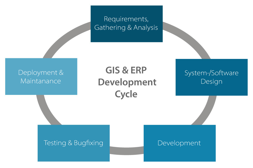
To ensure high quality in software development, we follow our own defined software development and software maintenance processes. In particular, the communication with the customers is the center of the products development process. Therefore, our products are based on clear market assessment of needs and requirements.
Standardized development process
Geographic Information systems open up virtually unlimited possibilities of applications in regard to spatial issues. However, what seems advantageous at first glance often turns out to be a problem when put to practice: the countless fields of application actually require individual solutions. However, such customer-specific individual designs are usually too cost-intensive. Therefore, we pursue the concept of 'field-specific standard applications'.
On a uniform technological basis we develop functional components for typical task areas in different GIS fields of application. These components can be easily modified and combined through systematic standardization. This combination results in customized solutions for many organizations. Thus, the development costs and all subsequent costs disperse. The applications remain flexible, cost-effective and long lasting.
Customized industry-specific applications
The development of GIS applications specific for certain fields and industries requires the identification of the relevant processes and converting them into corresponding software functions, also known as application modules. If correctly planned, such modules work as a 'functional interface' between a standard GIS and the user to answer questions related to the specific field promptly and precisely.
The development of application modules within a given time and budget greatly depends on the insight of the analysts and developers into field-specific knowledge. One of our main advantages is therefore the interdisciplinary structure of our GISCON competence teams in which experts in the specific field always work alongside IT and GIS specialists. Thus, we can transfer complex relations without any information loss into user-friendly interface for the specific field.
System Integration
Our many years of experience have shown how important it is to ensure that the existing workflow and IT structures are considered appropriately with each new release of a GIS or application.

The demands on a GIS from different departments often result in the co-existence of diverse applications. In an extreme case, each of these isolated solutions has its own requirements regarding data storage, processing and maintenance, meaning each data transfer between the departments inevitably causes additional expenses of time and costs.
The release of a geographic information system as well as the improvement of such isolated solutions requires a comprehensive understanding of existing special fields' applications, related work flows and business processes. The consultants in our competence teams create solutions for the integration of new GIS concepts and technologies into existing IT infrastructures using specific knowledge from the areas of system design and system integration quickly and safely. The results are more efficient work flows and hence a real added value without any extra cost.