


eMISK - Enterprise GIS
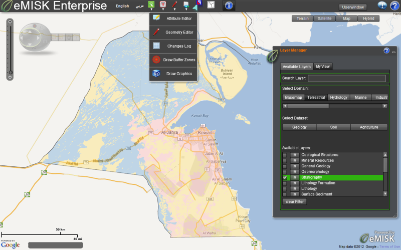 The main user interface of eMISK Enterprise The main user interface of eMISK Enterprise |
Kuwait’s Environment Public Authority (Kuwait EPA), provides leadership in the nation's environmental science, research, monitoring, education and assessment efforts. It works closely with other federal agencies and local government organizations to develop and enforce regulations under existing environmental laws. Kuwait EPA is responsible for setting national standards for a variety of environmental programs, monitoring and enforcing compliance. | |
Where national standards are not met, Kuwait EPA can issue sanctions and take other steps to assist the state in reaching the desired levels of environmental quality. The Authority also works with industries and with all levels of government bodies in a wide variety of pollution prevention programs and energy conservation efforts. |
||